
")
")


Task 7
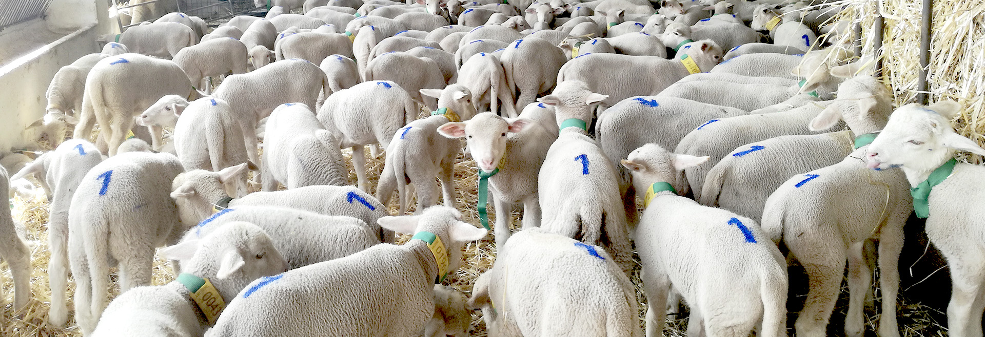
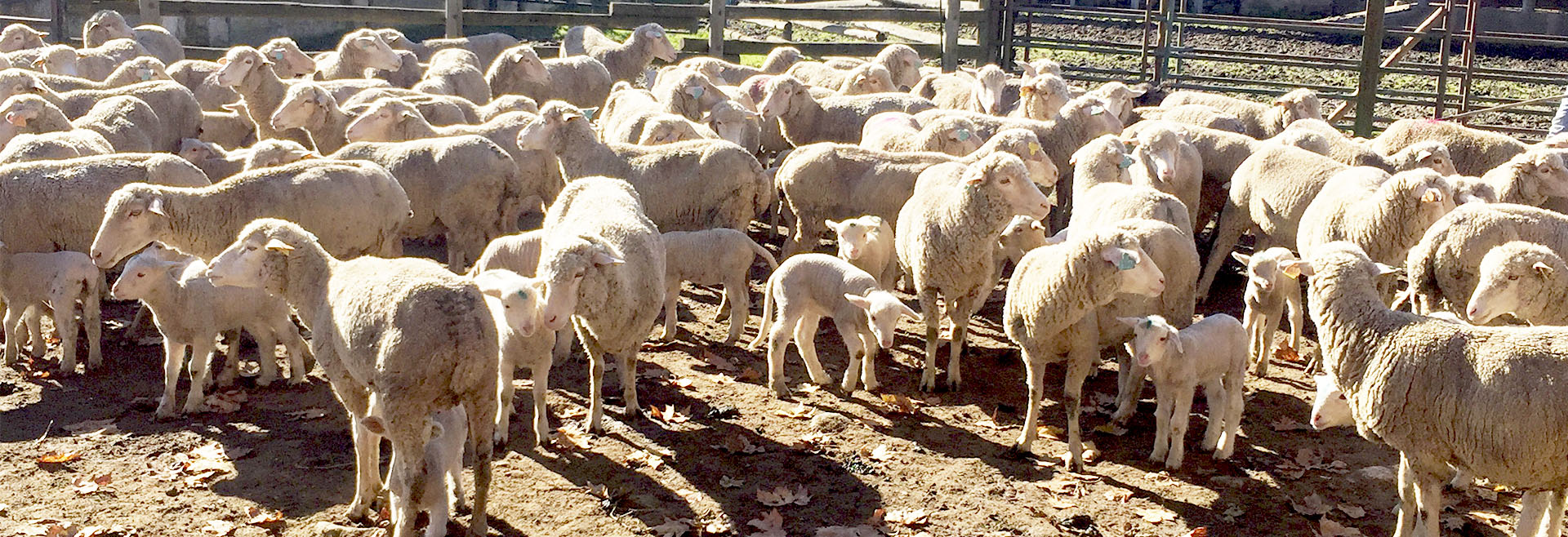
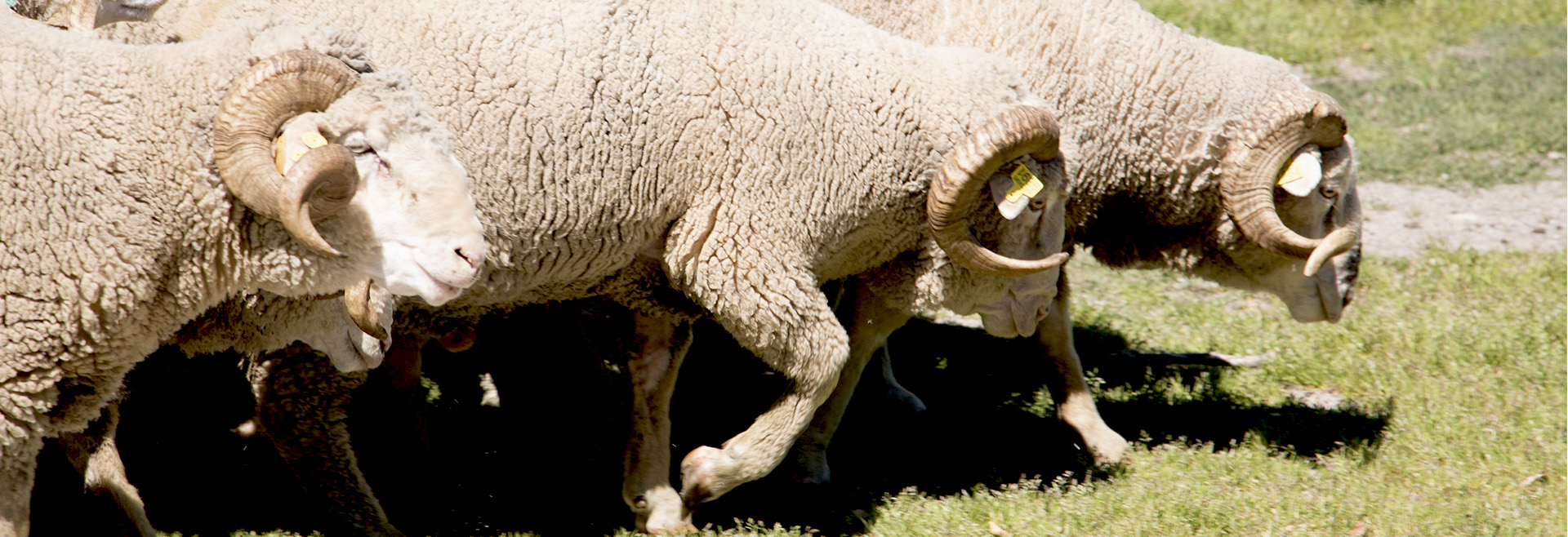
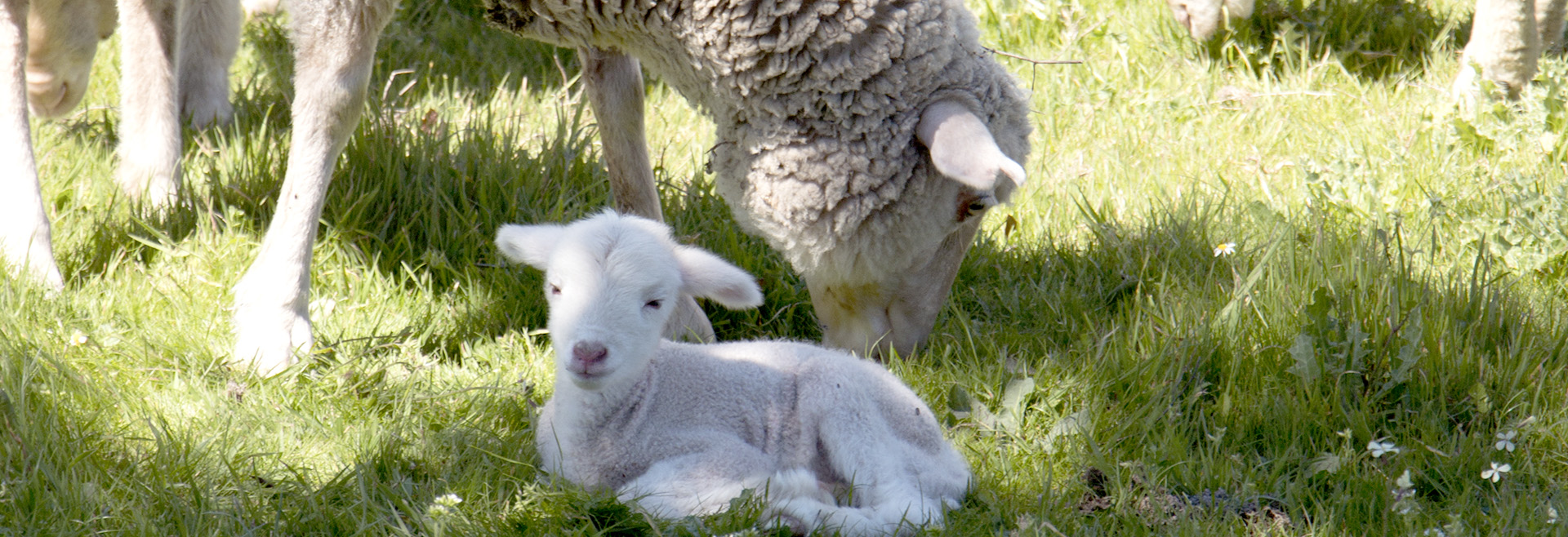
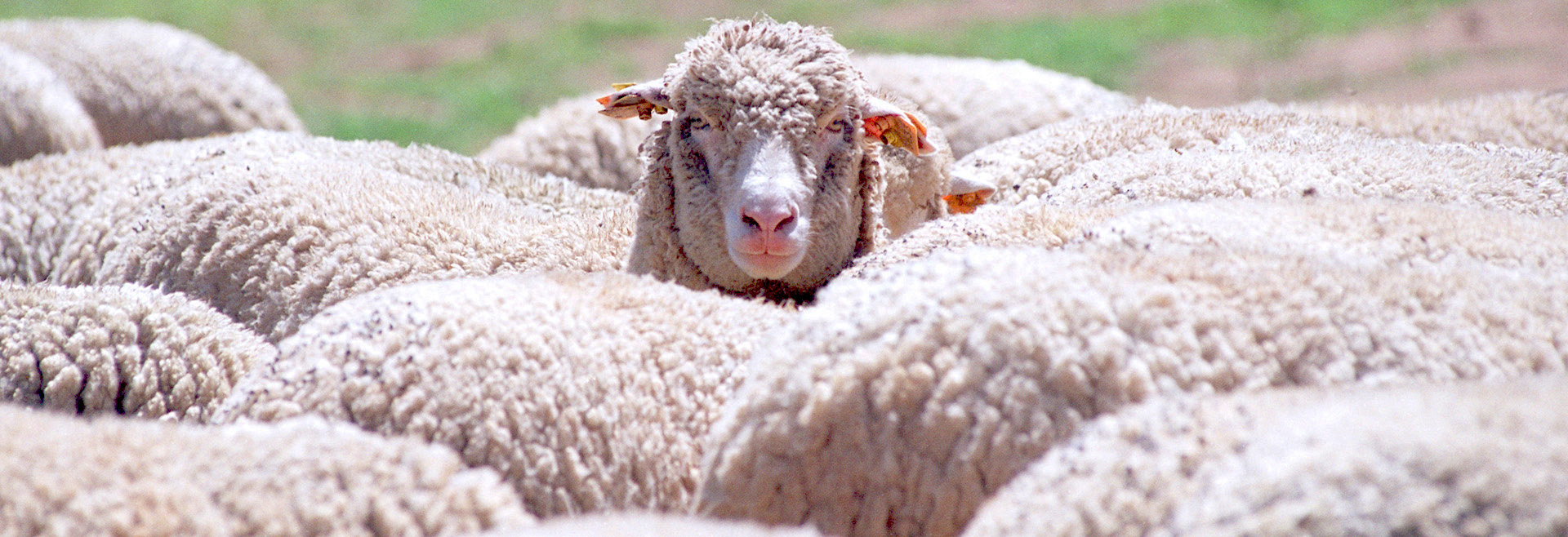
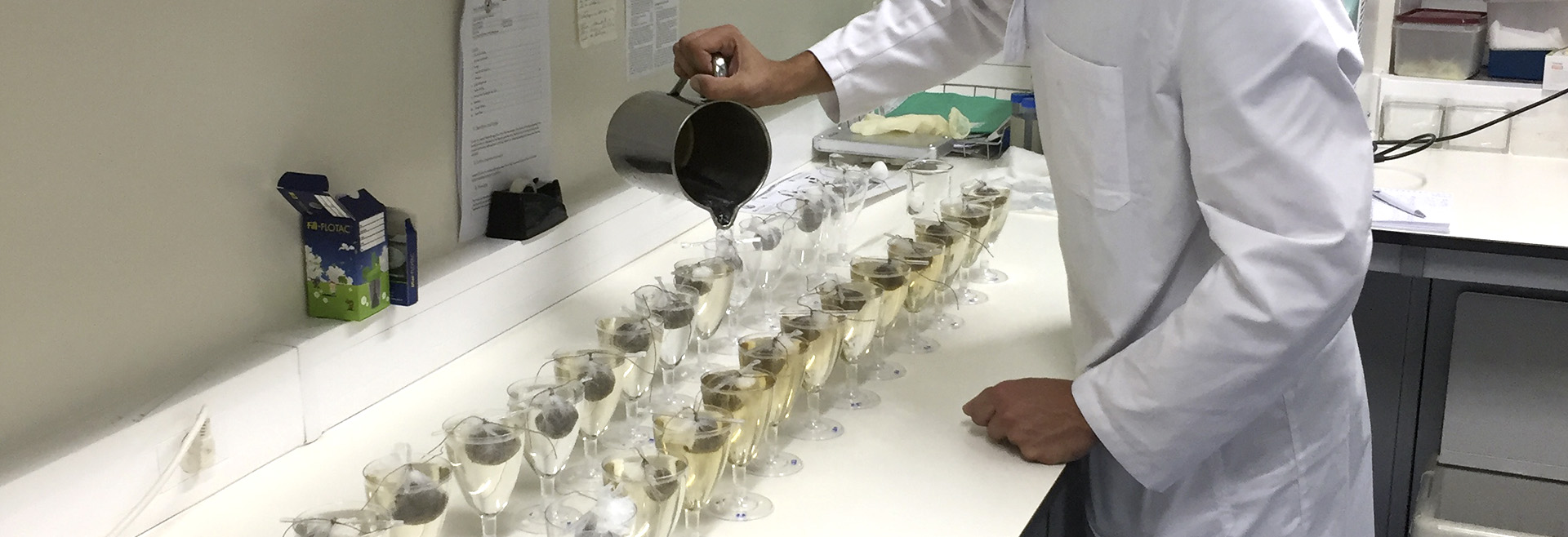
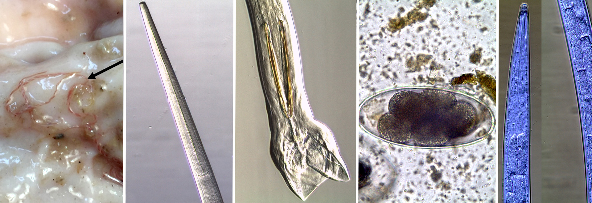
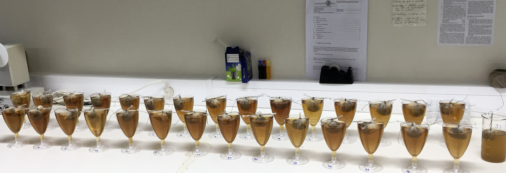
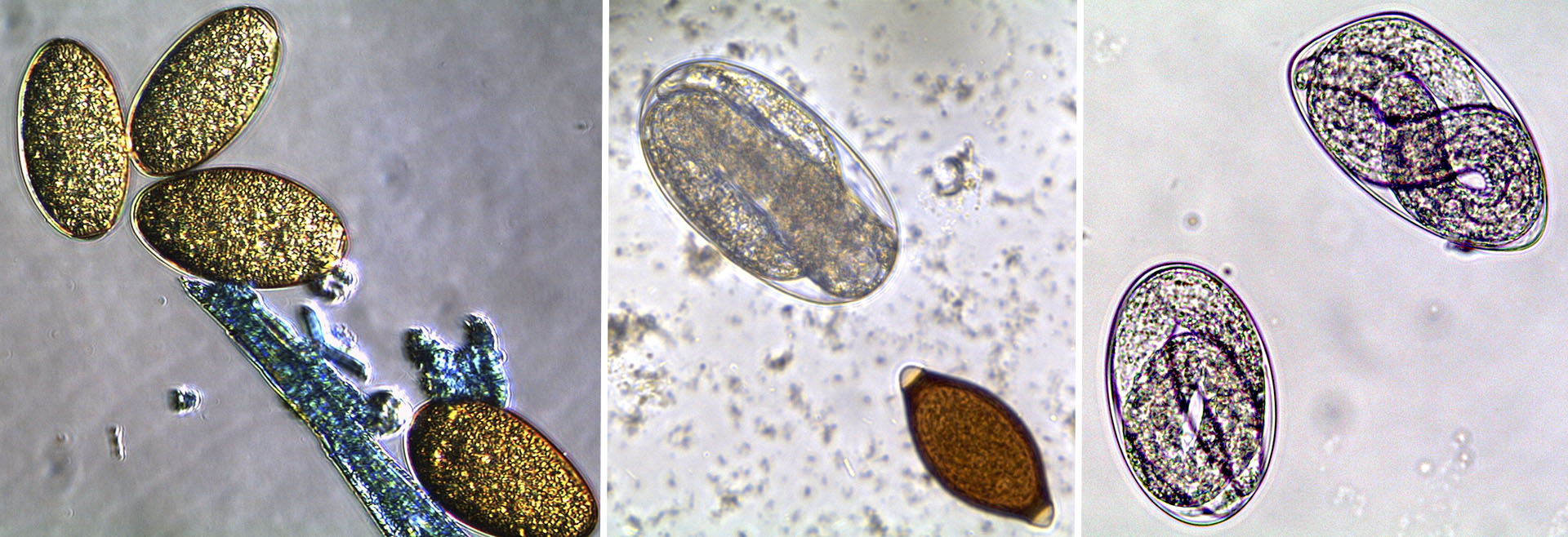
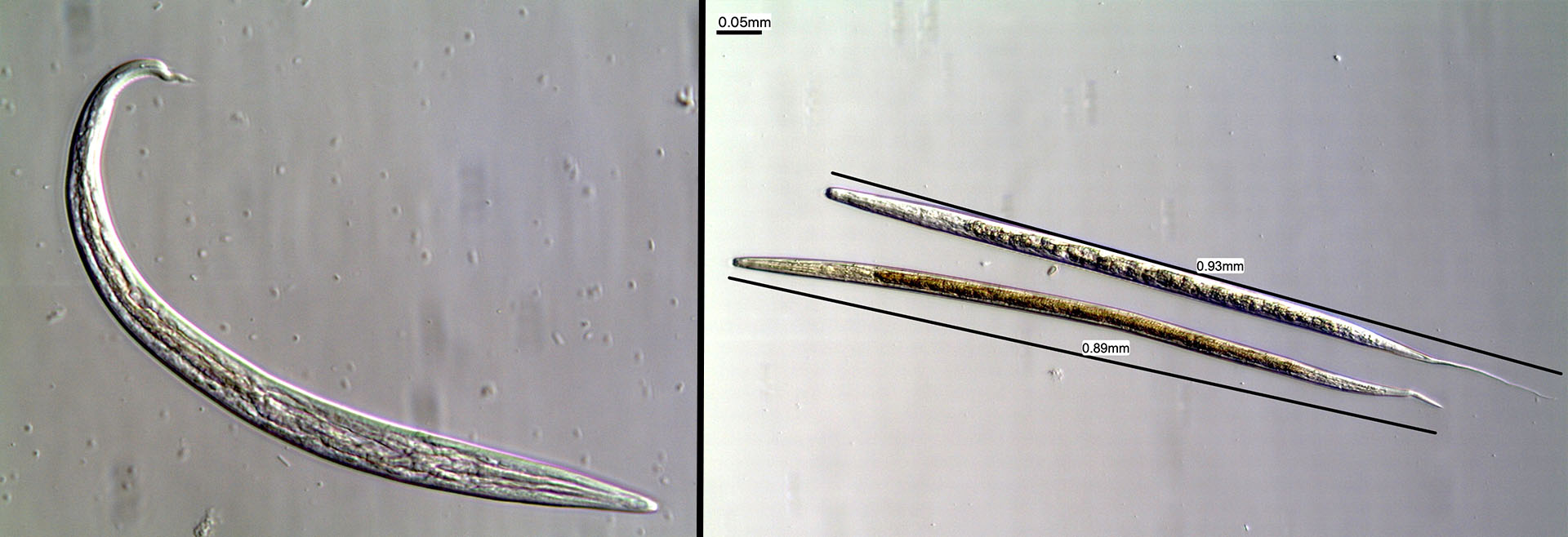
 The pattern of infection and reinfection is a dynamic phenomenon that varies with geographic region, soil and climate conditions and the type of production and grazing system used. Parasitic diseases are ideal candidates to apply the latest geolocation technologies, since several parasite species are confined to specific regions, which are characterized by a range of environmental conditions. The knowledge about the epidemiology of parasites, in particular their prevalence, geographic distribution, risk factors at farm level and edaphoclimatic conditions, will allow the spatial modeling of risk zones for internal parasites and help to forecast the best time for the administration of antiparasitic drugs and/or altered management.
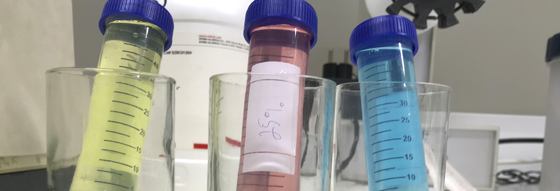
In this task, data will be organized in a specific database and analysed using univariate and multivariate techniques, correlation and logistic regression in order to identify risk factors associated with parasitic infection. Geographical data analysis techniques and remote sensed data will be employed, in order to identify environmental factors, which might influence the geographic distribution of the different parasite species. The output of climate-driven models of transmission potential of the main parasite taxa will be used as inputs into the spatial models, providing baseline risk maps.
Institutions involved and members of the team in this task:
INIAV
FMV
Expected results:
- Prevalence and geographical distribution of the different parasite species
- Identification of risk factors
- Models and predictive maps of the occurrence of internal parasitosis